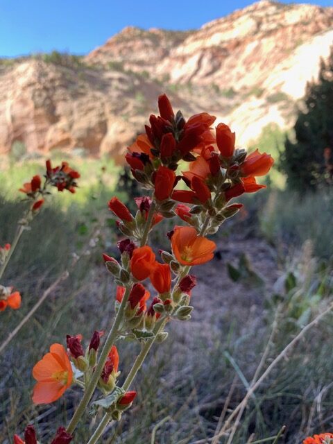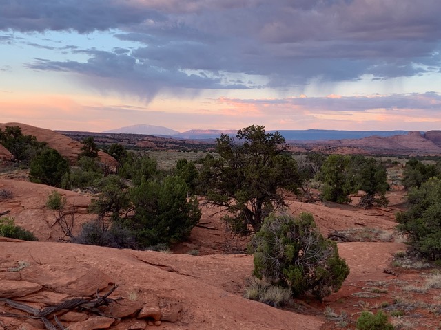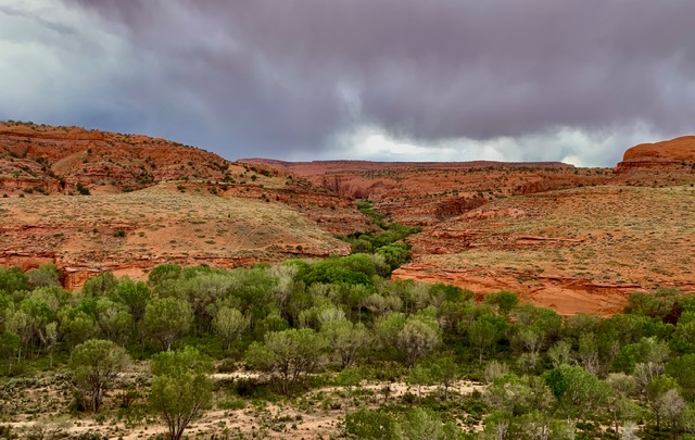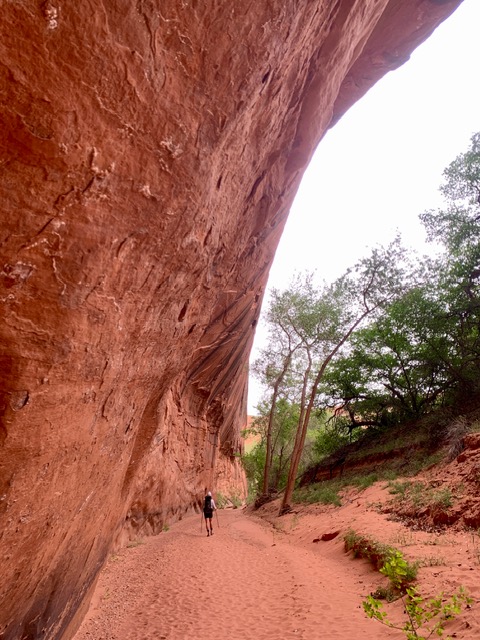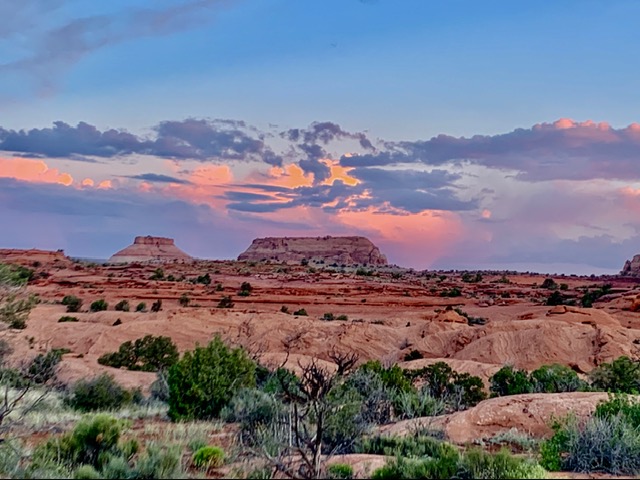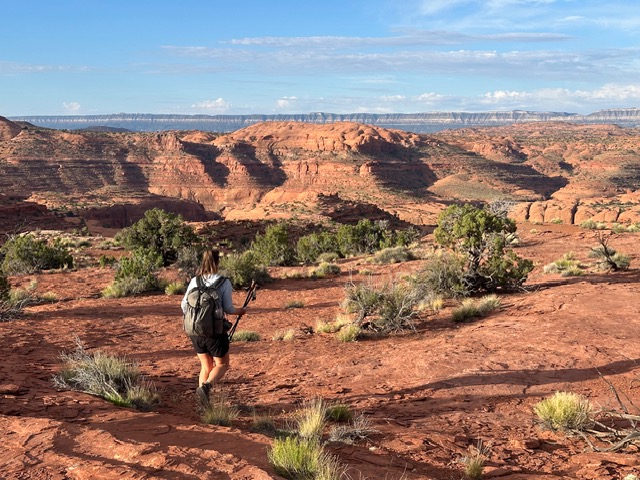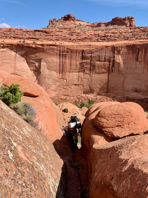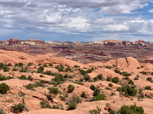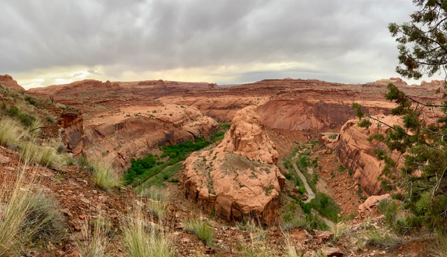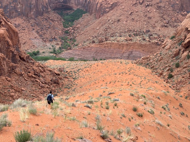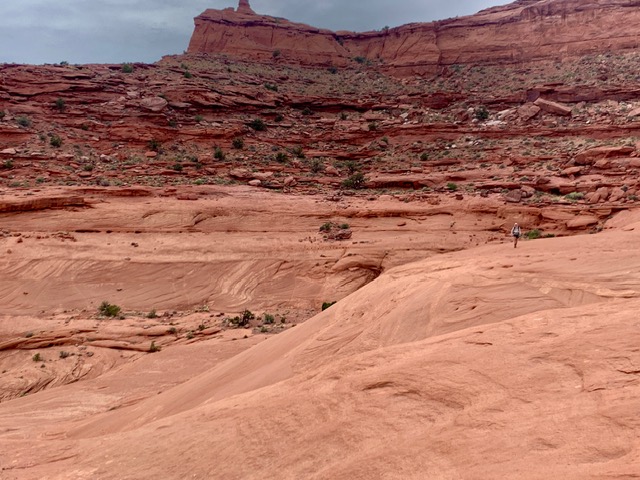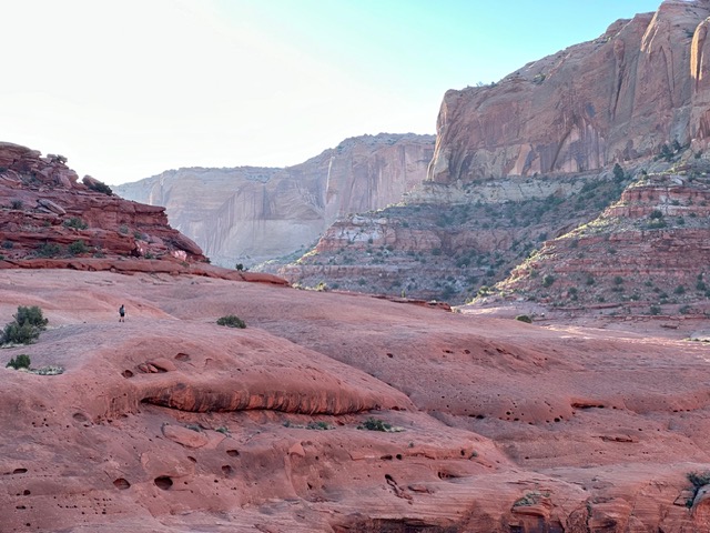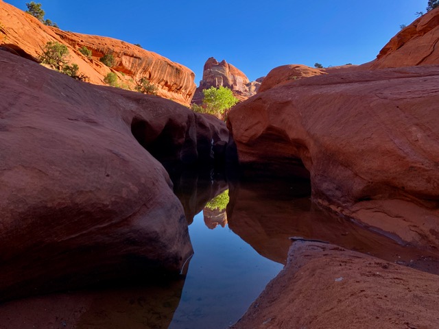
The Overland Route is a concept first suggested by legendary canyoneer Steve Allen in the very back of his guide Canyoneering 3. It roughly follows the Escalante River from Highway 12 to Coyote Gulch, winding over sandy, sage-specked benches and across its many circuitous side canyons. The closer you get to Lake Powell, the more Grand Canyon-esque the terrain, requiring the hiker to develop an intimacy with the characteristics of the various rock layers to find the best walking and passage from one layer to the next.
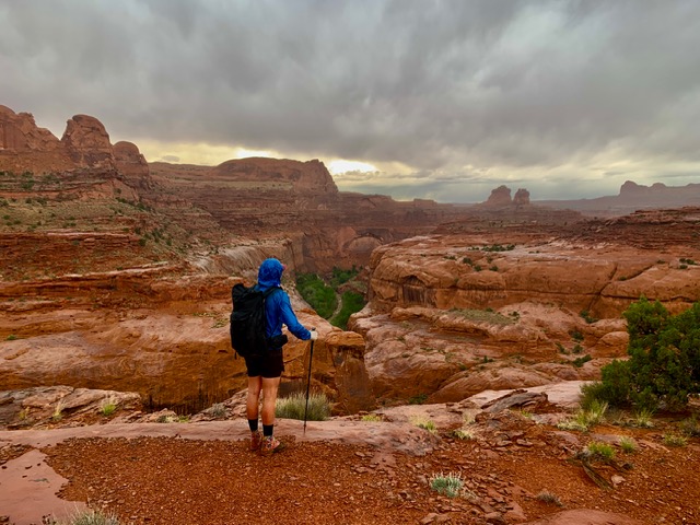
In May of 2024, my hiking partner Eric Volk and I walked, waded, and scrambled the route (plus a bonus canyon) in just over 5 days, covering about 95 miles.
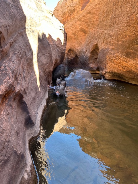
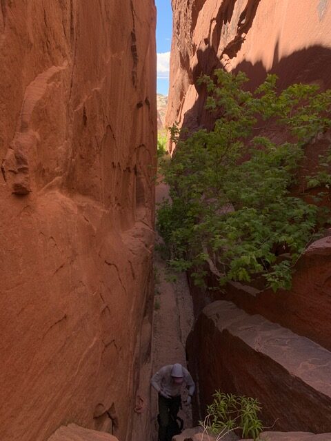
A dearth of good pothole water, long days with dawn to dusk hiking, neck deep wades, willow whacking, heat rash, engaging navigation, and semi technical canyon entrances/exits enticed me deeper into the mysteries of this landscape and made for a memorable adventure.
Earlier this spring, Eric and I sat down for an hour-long discussion of the route, covering an overview, critical gear and skills, the planning process, and our overall experience.
Gear
My gear list for this trip is very similar to the spring Escalante gear list detailed in this post with a few exceptions:
- High Tail Designs 90g Alpha midlayer instead of the R1
- Katabatic Tarn jacket instead of Montbell
- MLD Exodus Ultraweave instead of the ULA CDT
- No polycryo or pillow
- With the addition of 30′ of 1″ tubular webbing (unused)
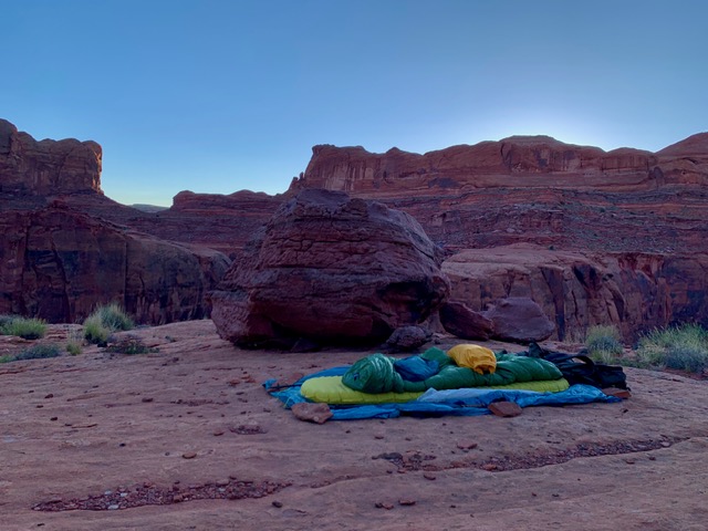
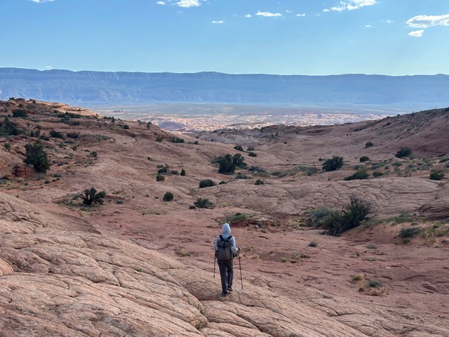
Photo Essay
I neglected to keep a journal on this trip and too much time has passed to recreate one from memory, so instead here’s a summary of the route in 19 photos.