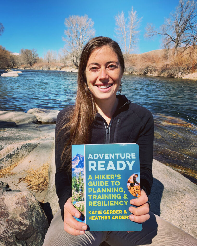
An excerpt from Adventure Ready: A Hiker’s Guide to Planning, Training, and Resiliency. It’s cross-published on Astral Footwear’s blog.
The most commonly overlooked aspect of planning is researching the conditions you’re likely to encounter on your chosen route. The expected conditions impact so many downstream trip planning decisions including your itinerary, gear choices, resupply plan, risk mitigation plan, and physical and mental preparation, so it’s critical to include this step!
The following excerpt provides a framework for planning your trips as well as instructions on exactly how to research likely conditions for your trip.
Planning your backpacking trip: an overview
My first backpacking trip was in college as part of a backpacking course, and the instructor had done all of the planning. When I attempted to do some pre-trip planning for my second-ever multi-night backpacking trip in 2009, on the Appalachian National Scenic Trail (AT), I used the knowledge I had gained from that college backpacking course—a very outdated approach as I came to learn—combined with what my hiking partner shared with me based on his research, and I hoped for the best.
There were far fewer online resources back then, and I had zero connections to the long-distance hiking world—a world I didn’t even know existed. In fact, I had never even heard of the AT when my friend had posed the idea to me five months earlier. I knew only that I needed an escape from my life at the time, I loved the outdoors, and it sounded like a grand adventure. And though the adventure was grand, my oversights ended up costing me money, time, and enjoyment.
Since those early days, I’ve learned a lot about the importance of trip planning and how to do it effectively and efficiently. Now, not only do I love the planning phase because it vastly increases my safety, happiness, and odds of success, but it also builds anticipation for the adventure to come!
This chapter covers a straightforward process for planning a multi-week backpacking trip from start to finish—a resource we wish we had had when we got started. We focus primarily on planning a longer excursion, such as a thru-hike, but there are also tips sprinkled throughout for shorter trips. Following a framework can keep you from feeling overwhelmed and makes the trip-planning process easier each time. This method involves defining your trip parameters, evaluating likely conditions, creating an itinerary, selecting gear, planning your resupply, understanding backcountry safety, and preparing yourself physically and mentally.
For multi-week to multi-month excursions, your trip planning might begin more than a year out from your projected start date. The amount of time needed to plan will be different for everyone and depends on factors such as your experience, trip complexity, trip duration, destination, and your familiarity with the area. In general, the less experienced you are and the greater the complexity and duration of the trip, the more preparation time you will need. For example, a five-month thru-hike of the Pacific Crest National Scenic Trail (PCT) may require a year of planning for someone new to long-distance hiking, whereas a more experienced backpacker may need only two months to plan. The more experience you gain, the easier the planning becomes.
No matter how much experience you have, there is a lot to take care of before a long hike. Always give yourself plenty of time to properly plan. It saves you time overall, money, and hassle once you’re out on the trail!
Researching Likely Conditions
Once you’ve finalized when, where, and with whom you’re going, familiarize yourself with your chosen route and assess the conditions you’re likely to encounter. This sets the stage to create an itinerary, plan your gear, assemble a resupply plan, and evaluate and mitigate risk. It also provides you with a better understanding of how to prepare physically and mentally.
In this stage of planning, you’ll want to reevaluate the weather and climate for your destination as well as the topography and trail type. In addition, research route conditions, such as the necessary navigational tools, where the water sources will be, possible wildlife encounters, how remote the route is, and whether any restrictions or closures may be in effect during your trip.
What follows are questions, or prompts, to help guide your research into each set of conditions. Some of these trip conditions may not exist on every route and there may be others you wish to include that aren’t on this list. Consult chapters 3 and 4, on backcountry safety and navigation, to learn more about each of these risk factors and how to create a personalized preparation plan for your chosen route.
Seasons, Climate, and Weather
What season(s) will you be hiking in? How much daylight will there be? Based on your earlier research, what is the expected climate and weather? What are the averages for precipitation and temperature? What are the record highs and lows? As you get closer to your trip dates, remember to check the weather forecast.
Terrain
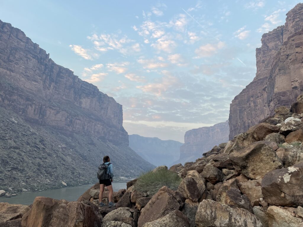
Terrain refers to the physical features of the land, such as mountains, forests, or floodplains. What types of terrain will you encounter? How much of your route is above tree line? How much of your route is forested? What is the degree of sun exposure, or the extent of elevation gain and loss?
Trail Type
Consider the type of trail on which you’ll be hiking. Will it be a well-marked and maintained trail or will you be hiking off trail? Will you be traveling across scree or boulder fields? Is there vegetation? If so, what type, and do you need special gear/clothing to avoid spiny or poisonous plants? Does your route require scrambling or climbing? Will you encounter year-round or glaciated snow, and if so, how much?
Navigation
What navigational tools do you need? Do you have an understanding of the broader area beyond just the trail you’re hiking? Are you familiar with alternate routes and potentially confusing junctions? If you were to go off route, where are the closest roads? What prominent landmarks, such as mountains or rivers, can you look for?
Water Sources and Obstacles
Where are the water sources along your route, and are they likely to be flowing at your chosen time of year? What is the source (spring, stream, river, lake, etc.)? Is the source directly on your route or will you need to hike off trail to find it? Are there river crossings? How wide and deep do you expect them to be?
Wildlife Interactions
What animals are you likely to encounter on this route? What are the risks? How will you deal with the situation if you encounter any of these animals?
Human Interactions and Remoteness
Are you likely to encounter other humans on this route? How remote is the route? How likely will it be for someone to find you if you’re injured? Where are the nearest roads? How will you be evacuated in case of an emergency?
Restrictions and Closures
Are there any fire restrictions? Will you encounter any sections of trail that may be closed due to events like a downed bridge, wildfire or natural disaster, or for species restoration?
As you evaluate each of these factors and plan your trip, order and print any maps, data books, and guidebooks you will need for your hike in both digital and paper formats. Other resources that can assist you in finding the most up-to-date conditions include trip reports, online forums, land managers, trail association websites, historical weather data, backcountry rangers, and experienced backcountry users. These are all excellent sources to draw upon in the creation of your beta packet which will be discussed in(see chapter 4). As you get further into your planning, refer to chapters 3 and 4 for a more thorough discussion of safety concerns, navigation, and route preparedness.
Excerpted from Adventure Ready: A Hiker’s Guide to Planning, Training, and Resiliency.
Related
How I Optimize Health For a Big Adventure
