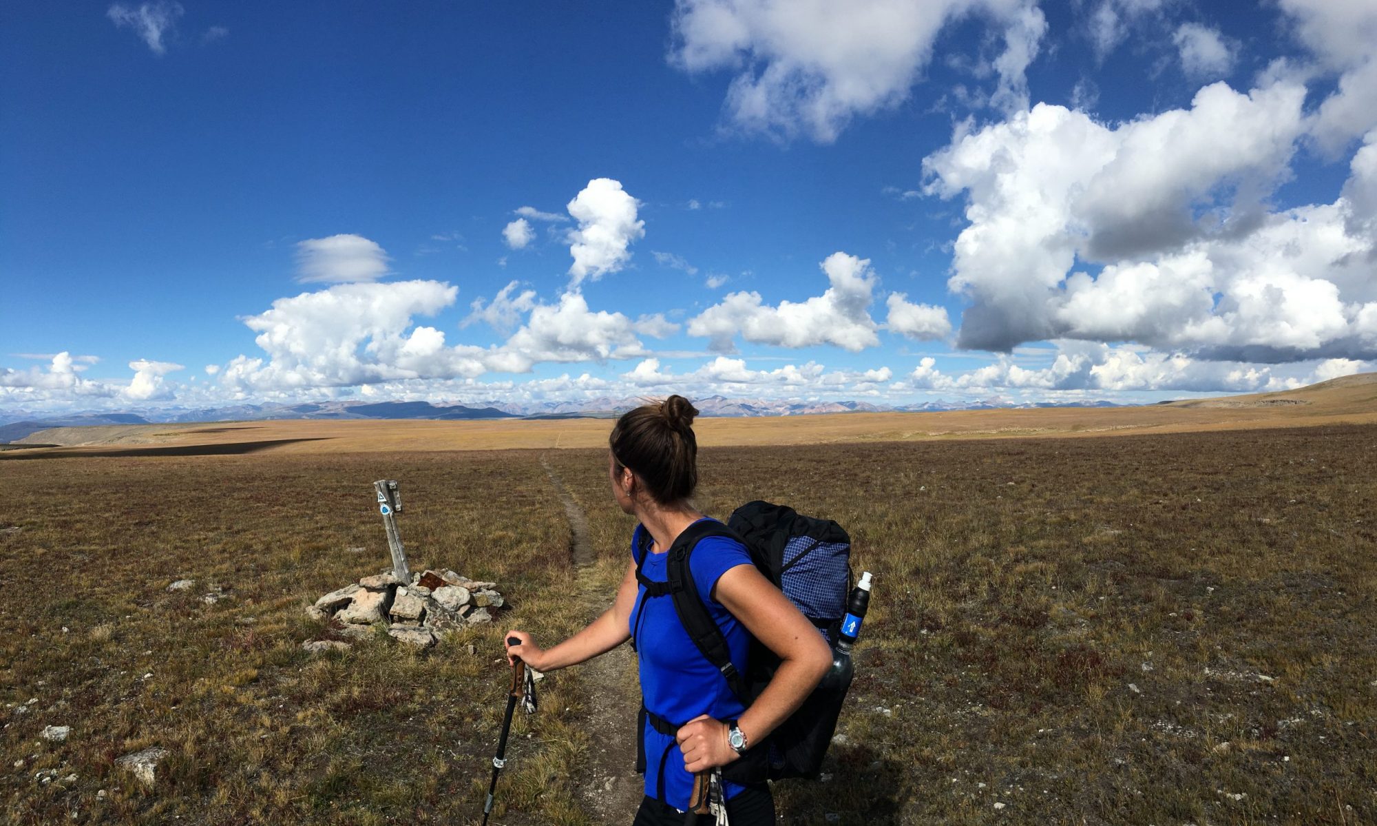
It’s not uncommon to hear discussions about how technology has caused humans to become an increasingly indoors species, disconnected from nature. While there may be some truth in that, technology is part of modern life and it’s not going away. So how can we use our phones to enhance our experience in the outdoors and connect us more deeply to the natural world around us?
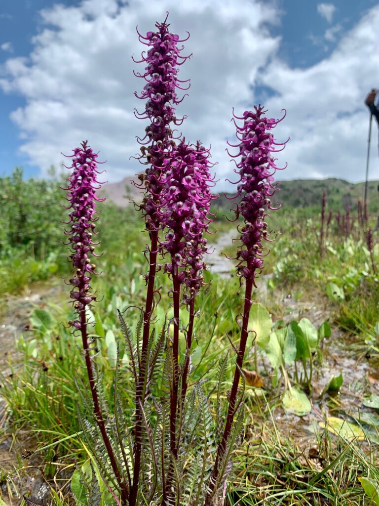
This season, in addition to swimming in as many alpine lakes as I can find, one of the things that’s been bringing me a lot of joy is getting to know the plant life around me more deeply. My educational background is in plant cellular and molecular biology and I’ve always had a keen interest in plants.
Over the years, I’ve gotten to know many of the plants where I live but I wanted to accelerate my learning. I also wanted to learn more of the plants I discovered while guiding in new locations, so I started using the Seek app. I was surprised by how much I loved observing which species came out at different times; who they like to grow around and in what conditions. Observing these details can tell you so much about the surrounding land, such as how much (or little) water is available, whether it was a heavy or light snow year, and even the pH of the soil.
Spending the last several months really dedicated to observing new species, especially around my home, has helped me be more present while I hike, rather than getting lost in thought. It’s also grounding to know with whom I share the land. I also love seeing similar species or members of the same family growing in different places, such as the California Poppy in the Sierra and the Arctic Poppy in Alaska.
In the words of Mary Oliver, “Attention is the beginning of devotion.” I observed over 100 new species this summer. In truth, many I already knew, but now I’ve officially logged them in my app 🙂 While I’m far from an expert, I’m enjoying the process of more deeply getting to know the land around me, aided by technology.
My clients observed the joy and fervor with which I sought out new observations this year and many asked for a list of apps I use most in the outdoors. Below is that list. Many of these I use regularly; some I’ve only used a couple of times, but I wanted to include them to provide a well-rounded list.
If you have feedback or suggestions, comment below.
Navigation
Gaia GPS, free for Basic, $40 for Premium
CalTopo, free for Basic, $50 for Premium
Digital maps and GPS are an important and powerful part of my navigational toolkit. A GPS device allows me to pinpoint exactly where I am and to do so quickly. I can also see my elevation, my bearing, create routes, record tracks, save waypoints at key locations and much more. Layers can be toggled on and the opacity adjusted so that I can see an incredible amount of information about an area at once, such as trail locations, fire history, topography, satellite imagery, slope angle, and much more. As many maps as you’d like (or that your phone storage will hold) can be downloaded for offline use and organized into folders. Gaia and CalTopo are my two favorite navigational apps and I usually save the same mapset to both apps as some features are better on one and some on the other. I also use the desktop version to plan routes at home and sync them to my phone.
Weather
- Weather Underground, free Basic
- Windy, free Basic
- OpenSummit, free Basic
I usually check multiple forecasts for a single location when heading into the mountains (and then I refresh those forecasts compulsively until I go) so that I can make informed gear choices and even go/no-go decisions. In addition to the weather.gov point forecast, these are the apps I’ve found give me the most accurate hourly forecasts for precip, wind speed and direction, cloud cover, and more.
Wildlife and Plant life ID
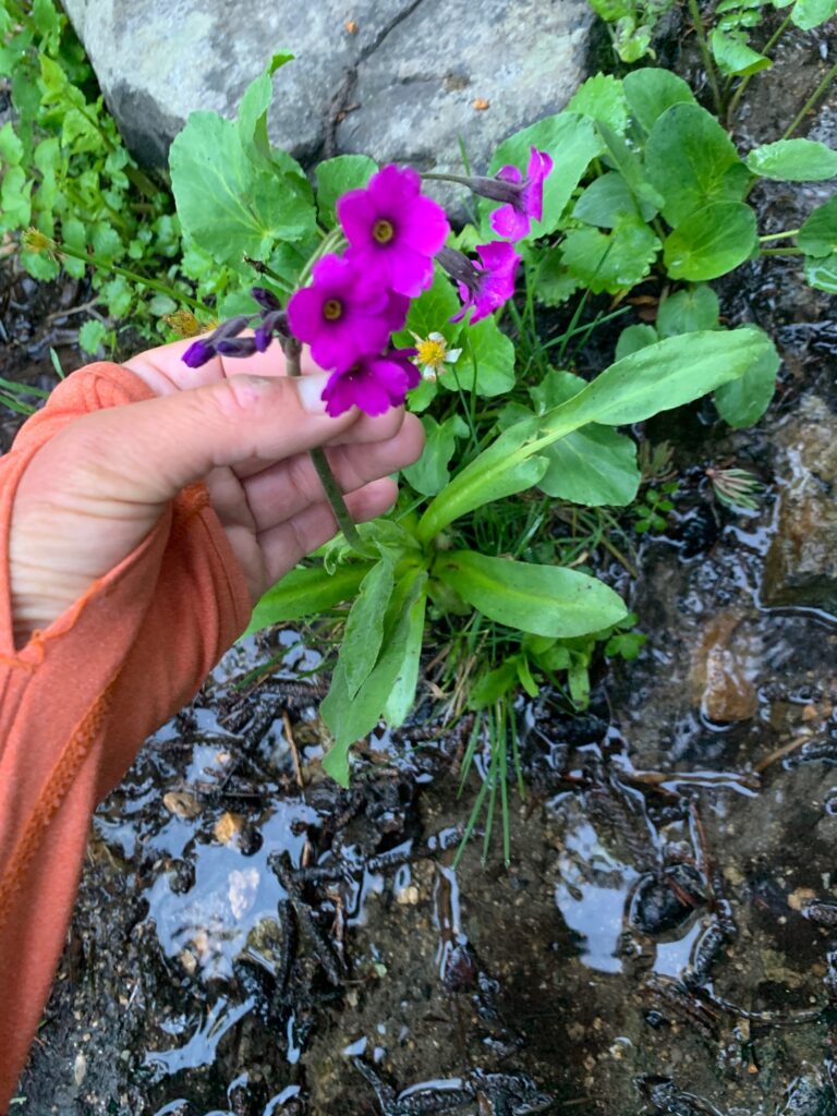
- Seek by iNaturalist, free
This is the plant ID app I use. It also identifies animals, birds, amphibians, plants, and fungi. You simply point your phone camera at the object you wish to identify and the app uses image recognition technology to give you an answer. Sometimes it can get you to species, other times only to genus or even just family. Personally, I use the app to help me get close, then use a field guide specific to the area to help me hone things in.
Mountain ID
- Peak Finder, $4.99
What’s that big peak way over in the distance? Can we see Mt. Whitney from here? If you love identifying the mountains near and far when you get to a summit or an open view, Peak Finder can help. You simply line your phone up to the horizon and the app provides a sketch of the surrounding terrain with visible summits labeled.
Star Guide
- Sky Guide, free
It’s fun to know what’s in the night sky above us. With the Sky Guide app, you can point your phone at the sky and it identifies stars, constellations, and planets. I sometimes find constellations difficult to visualize and this app makes that a breeze.
Bird ID
- Sibley’s Bird app, $19.99
- Merlin Bird ID, free
Search for and identify hundreds of bird species through song, drawings, and location. Works offline.
Knots
- Animated Knots, $4.99
Use the app to follow images that walk you through how to tie over 300 knots. Learn that trucker’s hitch once and for all, and enjoy the world of possibilities that open up to you with a more versatile guyline system.